Tuesday 30 August 2011

Pangkor Island, Malaysia

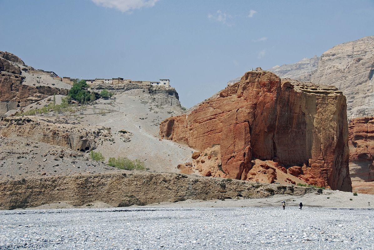
Pulau Pangkor is an island off the coast of Perak in north-west peninsular Malaysia. It has a land area of only 8 square kilometers, and a population of approximately 25,000 islanders. Pangkor Island has some beautiful and quiet beaches. Teluk Nipah and Pantai Pasir Bogak have attractions as the banana boats, kayaks and jet skis available. A Dutch fort of 17th century is also present there.

Image of Dutch Fort at Pulau Pangkor Island
Image of Pulau Pangkor Island
Image of beach at Pulau Pangkor Island
Image of Dutch Fort at Pulau Pangkor Island
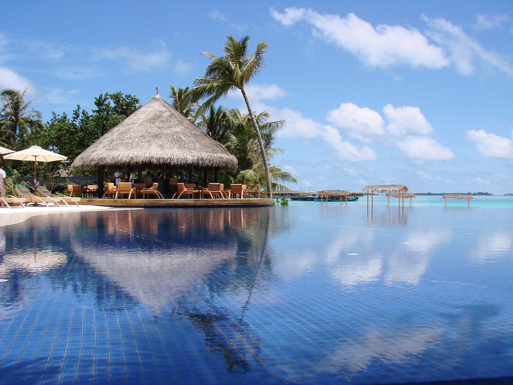
Image of Pangkor Village Beach Resort, Pulau Pangkor Island

Saturday 27 August 2011

Vikos Gorge


The Vikos Gorge is a gorge in the Pindus Mountains of northern Greece. It lies on the southern slopes of Mount Tymfi. It is listed as the deepest gorge in the world by the Guinness Book of Records among others. Its length is about 20 km, depth ranging from 450 m to 1600 m and width from 400 m to some meters at its narrowest part. There is a natural viewing platform over the deepest part of the gorge at Oxia. Another viewpoint over the gorge is at Beloi, on the eastern side of the gorge.

Image of Vikos Gorge

Palo Duro Canyon

Palo Duro Canyon is a canyon system of the Caprock Escarpment in the Panhandle of Texas (USA). It is the second largest canyon in the USA. It is roughly 193 km long and has an average width of 10 km. Its depth is around 250 m but in some locations it can increase up to 304 m. It is also called “The Grand Canyon of Texas," both for its size and for the dramatic geological features, including the multicolored layers of rock and steep mesa walls similar to those in the Grand Canyon. One of the best known and the major signature feature of the canyon is the Lighthouse Peak.

Image of Palo Duro Canyon
Image of cave in Palo Duro Canyon
Image of Palo Duro Canyon
  Image of Palo Duro Canyon

 Image of Palo Duro Canyon


Image of famous light house like rock in Palo Duro Canyon


Image of Palo Duro Canyon

Bicaz Canyon


The Bicaz Canyon is one of the most spectacular places in Romania, located in the north-east part of the country, in Neamţ and Harghita counties. The canyon was dug by the waters of Bicaz River and it serves as a passageway between the Romanian provinces of Moldova and Transylvania. It is a noted location to see the wallcreeper, an uncommon cliff-dwelling bird. The road along the 8 kilometres of ravines is one of the most spectacular drives in the country.

Image of Bicaz Canyon


Friday 26 August 2011

Biafo Glacier, Pakistan

The Biafo Glacier is situated in the Karakoram Mountains of the Northern Areas, Pakistan. It is 63 km long glacier which meets the 49 km long Hispar Glacier at an altitude of 5,128 m at Hispar La (Pass) to create the world's longest glacial system outside the polar regions. This highway of ice connects two ancient mountain kingdoms, Nagar (immediately south of Hunza) in the west with Baltistan in the east. The Biafo Glacier is the world's third longest glacier outside of the polar region.

Image of Biafo Glacier


Tuesday 23 August 2011

Thar Desert, India

The Thar Desert also known as the Great Indian Desert, is situated in the northwestern part of the Indian subcontinent and forms a natural boundary running along the border between India and Pakistan. It covers an area of more than 200,000 km2. It is the world's 9th largest subtropical desert. It lies mostly in the Indian State of Rajasthan, and extends into the southern portion of Haryana and Punjab states and into northern Gujarat state. In Pakistan, the desert covers eastern Sindh province and the southeastern portion of Pakistan's Punjab province. The Cholistan Desert adjoins the Thar desert spreading into Pakistani Punjab province.

Image of Thar Desert
Image of Thar DesertImage of sun set at Thar DesertImage of Thar Desert

White Sands Desert, New Mexico

The White Sands National Monument is a U.S. National Monument located about 25 km southwest of Alamogordo in western Otero County and northeastern Dona Ana County in the state of New Mexico, at an elevation of 4235 feet. The area is in the mountain-ringed Tularosa Basin valley area and comprises the southern part of a 710-km² field of white sand dunes composed of gypsum crystals.

Image of White Sands Desert

Kali Gandaki Canyon (Gorge)

The Kali Gandaki Gorge is the gorge of the Kali Gandaki in the Himalayas in Nepal. The Kali Gandaki gorge has been used as a trade route between India and Tibet for centuries. Today, it is part of a popular trekking route from Pokhara to Muktinath, part of the Annapurna Circuit. The gorge is within the Annapurna Conservation Area.

Image of Kali Gandaki Gorge

Image of Kali Gandaki Gorge


Sunday 21 August 2011

Maldives Islands

Images of Maldives Island

Image of Maldives Island
Picture of Maldives Islands
Image of blue fish in crystal clear water of Maldives
A beautiful scene of Maldives
Image of a Palm tree on the beach of Maldives
Beautiful picture of blue heaven (Maldives) on Earth
A girl in clear water of Maldives
An underwater construction in Maldives

Saturday 20 August 2011

Kangchenjunga

Kangchenjunga is the third highest mountain in the world after Mount Everest and K2, with an elevation of 8,586 m (28,169 ft). It is situated in the Himalayan Range. Kangchenjunga means "The Five Treasures of Snows", as it contains five peaks, four of them over 8,450 m (27,720 ft). The treasures represent the five repositories of God, which are gold, silver, gems, grain, and holy books. Three of the five peaks (main, central, and south) are on the border of the Indian North Sikkim and Taplejung District of Nepal, while the other two are completely in Taplejung District.

Kangchenjunga was first climbed on May 25, 1955 by Joe Brown and George Band, who were part of a British expedition.

Image of Kangchenjunga