Sunday 31 July 2011

Introduction of Canyon

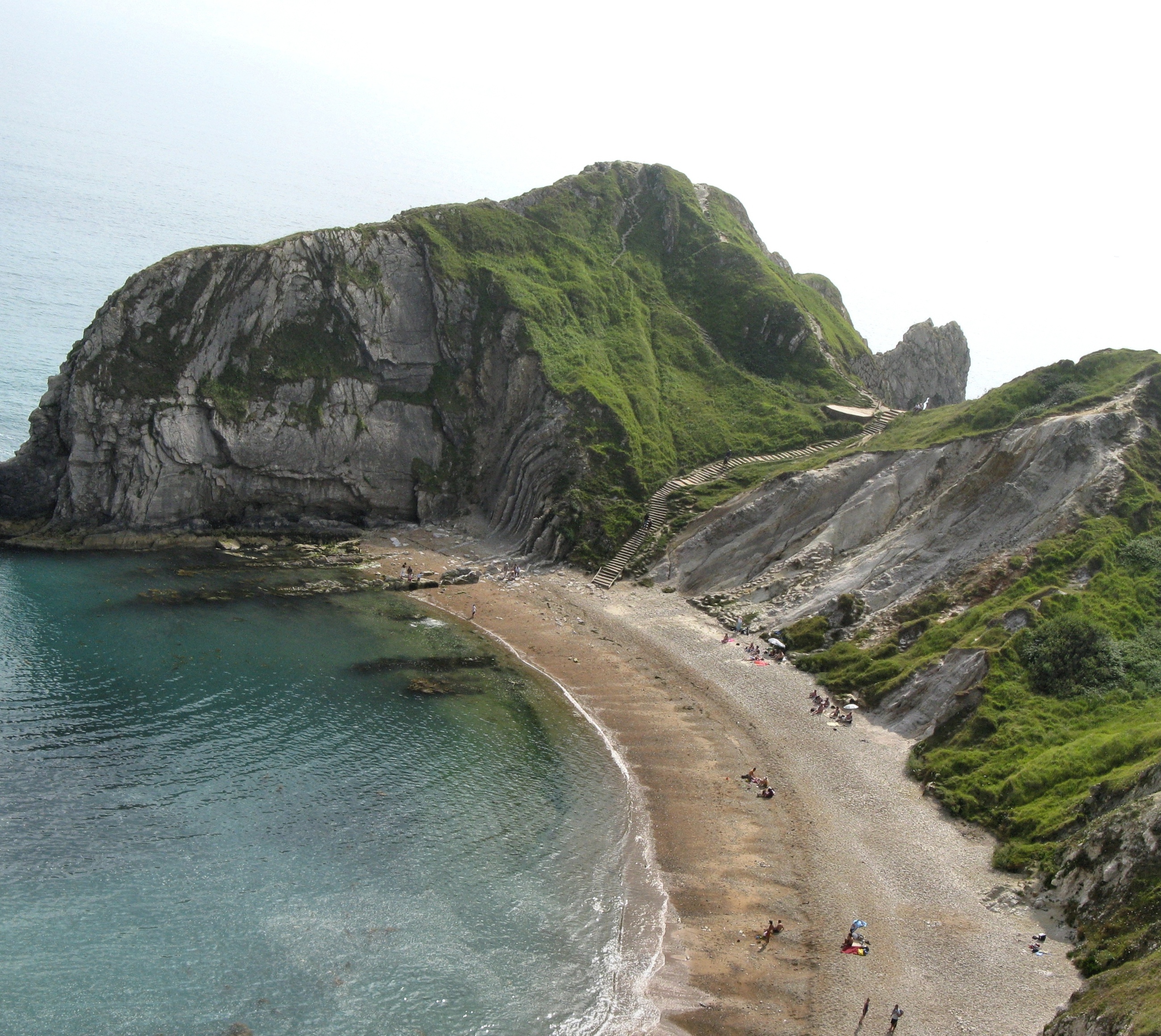
A canyon or gorge is a deep ravine between cliffs often carved from the landscape by a river. Rivers have a natural tendency to reach a baseline elevation, which is the same elevation as the body of water it will eventually drain into. This forms a canyon. Most canyons were formed by a process of long-time erosion from a plateau level. The cliffs form because harder rock strata that are resistant to erosion and weathering remain exposed on the valley walls. Canyons are much more common in arid areas than in wet areas because physical weathering has a greater effect in arid zones. The wind and water from the river combine to erode and cut away less resistant materials such as shales. The freezing and expansion of water also serves to help form canyons. Water seeps into cracks between the rocks and freezes, pushing the rocks apart and eventually causing large chunks to break off the canyon walls. Canyon walls are often formed of resistant sandstones or granite. Submarine canyons form underwater, generally at the mouths of rivers. The word canyon is Spanish in origin. The word canyon is generally used in the United States, while the word gorge is more common in Europe and Oceania, though it is also used in some parts of the United States and Canada.

Canyons often form in areas of limestone rock. Limestone is to a certain extent soluble, so cave systems form in the rock. When these collapse a canyon is left, for example in the Mendip Hills in Somerset and Yorkshire Dales in Yorkshire, England.

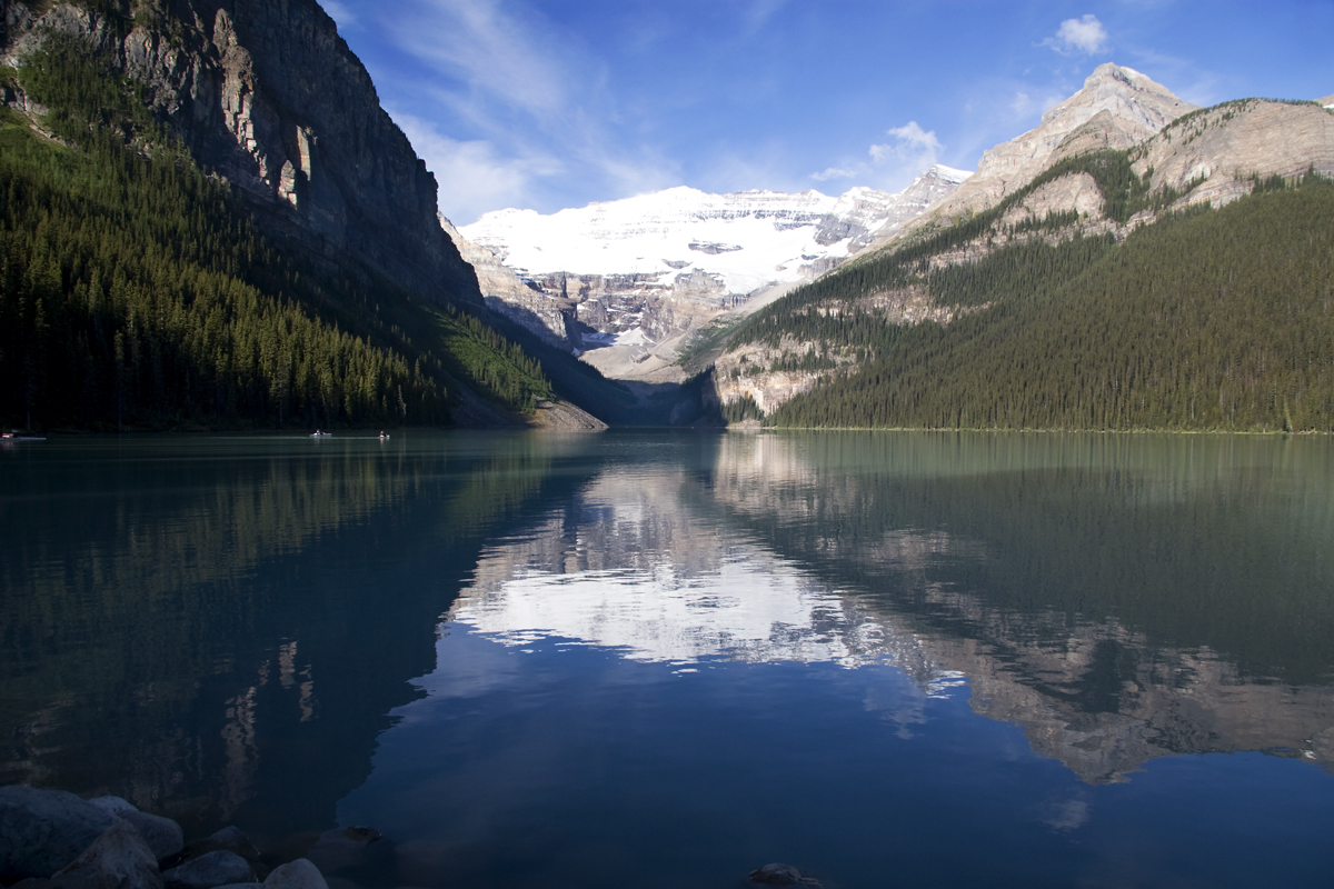
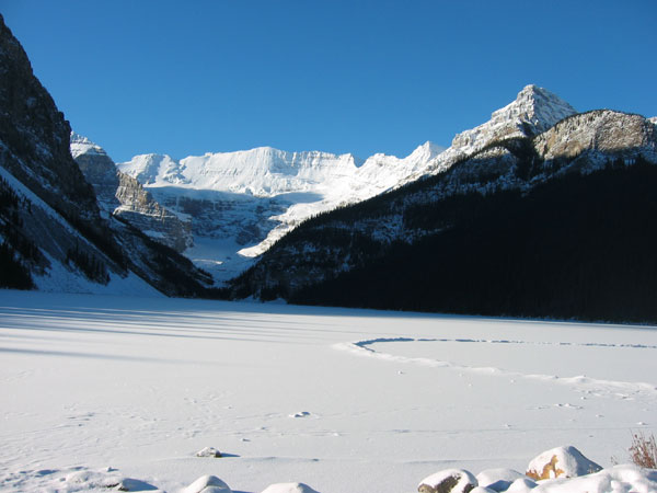
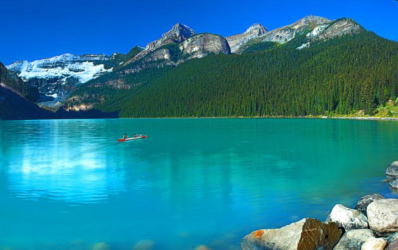
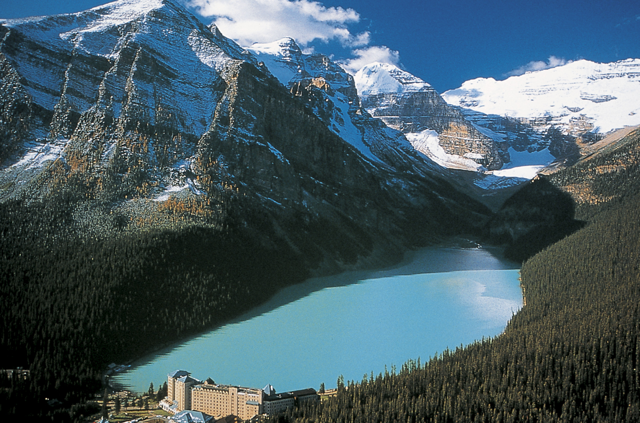
A canyon may also refer to a rift between two mountain peaks such as those in ranges such as the Rocky Mountains, the Alps, the Himalayas or the Andes. Usually a river or stream and erosion carve out such splits between mountains. Examples of mountain type canyons are Provo Canyon in Utah or Yosemite National Park in California's Sierra Nevada. Canyons within mountains or gorges that only have an opening on one side are called box canyons. Slot canyons are very narrow canyons, often with smooth walls.


Saturday 30 July 2011

Lake Louise

Lake Louise is a lake in Alberta, Canada. The glacial lake is located in Banff National Park, 5 km (3.1 mi) from the hamlet of Lake Louise and the Trans-Canada Highway.

Lake Louise is named after the Princess Louise Caroline Alberta (1848–1939), the fourth daughter of Queen Victoria and the wife of the Marquess of Lorne, who was the Governor General of Canada from 1878 to 1883.

The emerald colour of the water comes from rock flour carried into the lake by melt-water from the glaciers that overlook the lake. The lake has a surface of 0.8 km2 (0.31 sq mi) and is drained through the 3 km long Louise Creek into the Bow River.

Fairmont's Chateau Lake Louise, one of Canada's grand railway hotels, is located on Lake Louise's eastern shore. It is a luxury resort hotel built in the early decades of the 20th century by the Canadian Pacific Railway.

Moraine Lake and Lake Agnes are also accessible from Lake Louise.

Images of Lake Louise


Thursday 28 July 2011

Introduction of Beach

A beach is a geological landform along the shoreline of an ocean, sea, lake or river. It usually consists of loose particles which are often composed of rock, such as sand, gravel, shingle, pebbles or cobblestones. The particles of which the beach is composed can sometimes instead primarily be of biological origins, such as whole or fragmentary mollusc shells or fragments of coralline algae.

Wild beaches are beaches which do not have lifeguards or trappings of modernity nearby, such as resorts and hotels. They are sometimes called undeclared, undeveloped or undiscovered beaches. Wild beaches can be valued for their untouched beauty and preserved nature. They are most commonly found in less developed areas including, for example, parts of Puerto Rico, Thailand, the Philippines, and Indonesia.

Beaches often occur along coastal areas where wave or current action deposits and reworks sediments.

Images of some Beaches


Gullfoss Waterfall

Gullfoss (Golden Falls) is a waterfall located in the canyon of Hvítá river in southwest Iceland. Gullfoss is one of the most popular tourist attractions in the country. The average amount of water running over this waterfall is 140 m³/s in the summertime and 80 m³/s in the wintertime. The highest flood measured was 2000 m³/s.

Images of Gullfoss Waterfall


Sutherland Falls

Sutherland Falls is a waterfall near Milford Sound in New Zealand's South Island. At 580 metres (1,904 feet) the falls were long believed to be the tallest waterfall in New Zealand.

Water falls in three cascades, the upper is 229 m tall, middle - 248 m, lower - 103 m tall. Vertical fall of 580 m is made over 480 m of horizontal distance, thus the mean grade of falls is approximately 56 degrees.

The base of Sutherland Falls is a 90 minutes (return) walk from Quintin Public Shelter on the Milford Track.


Introduction of Waterfall

A waterfall is a place where flowing water rapidly drops in elevation as it flows over a steep region or a cliff.

Types of waterfalls

Block: Water descends from a relatively wide stream or river.

Cascade: Water descends a series of rock steps.

Cataract: A large, powerful waterfall.

Chute: A large quantity of water forced through a narrow, vertical passage.

Fan: Water spreads horizontally as it descends while remaining in contact with bedrock.

Frozen: Any waterfall which has some element of ice.

Horsetail: Descending water maintains some contact with bedrock.

Plunge: Water descends vertically, losing contact with the bedrock surface.

Punchbowl: Water descends in a constricted form and then spreads out in a wider pool.

Segmented: Distinctly separate flows of water form as it descends.

Tiered: Water drops in a series of distinct steps or falls.

Multi-step: A series of waterfalls one after another of roughly the same size each with its own sunken plunge pool.


Monday 25 July 2011

The Nile River, Egypt


The Nile is a major north-flowing river in North Africa, generally regarded as the longest river in the world. It is 6,650 km (4,130 miles) long. It runs through the ten countries of Sudan, South Sudan, Burundi, Rwanda, Democratic Republic of the Congo, Tanzania, Kenya, Ethiopia, Uganda and Egypt.
The Nile has two major tributaries, the White Nile and Blue Nile. The latter is the source of most of the water and fertile soil. The former is the longer. The White Nile rises in the Great Lakes region of central Africa, with the most distant source being as-yet undetermined, and located in either Rwanda or Burundi. It flows north through Tanzania, Lake Victoria, Uganda and South Sudan. The Blue Nile starts at Lake Tana in Ethiopia at 12°02′09″N 037°15′53″E / 12.03583°N 37.26472°E / 12.03583; 37.26472 and flows into Sudan from the southeast. The two rivers meet near the Sudanese capital of Khartoum.
The northern section of the river flows almost entirely through desert, from Sudan into Egypt, a country whose civilization has depended on the river since ancient times. Most of the population and cities of Egypt lie along those parts of the Nile valley north of Aswan, and nearly all the cultural and historical sites of Ancient Egypt are found along riverbanks. The Nile ends in a large delta that empties into the Mediterranean Sea.


The Nile from CairoSatellite view of The Nile


Aerial view of the Nile
The Nile from Egypt


The Nile from Luxor Egypt


The Nile from Cairo
Satellite view of The Nile

Map of the Nile