Sunday 25 September 2011

Naran Valley, Pakistan

Naran Valley is located in Khyber-Pakhtunkhwa, Pakistan. The Kunhar River, swollen by glacier melt, meanders its way through the Naran Valley. Makra Peak, Malka Parbat, Lalazar and Saiful Muluk are the main attractions.

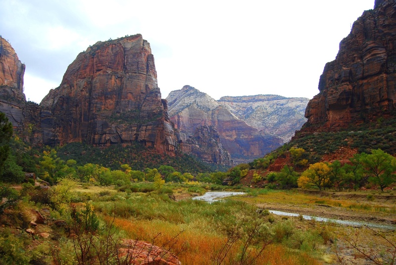
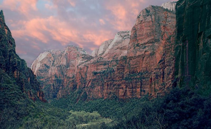
Images of Naran Valley Pakistan


Tuesday 20 September 2011

Gran Desierto de Altar

The Gran Desierto de Altar is one of the major portions of the Sonoran Desert of Mexico, including the only active erg dune region in North America. It extends across much of the northern border of the Gulf of California, reaching more than 100 kilometers east to west, and over 50 km north to south, and constitutes the largest continuous wilderness area within the Sonoran Desert. The Gran Desierto covers approximately 5,700 km2, most of it in the Mexican state of Sonora. The northernmost edges overlap the border into southwestern Arizona. The dominant sand sheets and dunes range in thickness from less than one meter to greater than 120 meters. The total volume of sand in the Gran Desierto is about 60 km3. Most of that volume was delivered by the Pleistocene Colorado River which flowed through the present-day Gran Desierto area ~120,000 years before present.

Images of Altar Desert Mexico


Monday 19 September 2011

My Khe Beach

My Khe Beach is the most crowded of Da Nang beaches and popular to local people. My Khe Beach is located about 6 km east of Da Nang and about 24 km north of Hoi An. It is a nine-kilometre stretch of smooth sand with an average width between 50m and 70m. It is an ideal and huge beach with smooth sand and a slight slope. Behind the beach is a dark green poplar forest, and beside, the Kinh River carries crystal water to the sea. The beach has coral, abundant plants and creatures along bankside and under sea. Especially, the beach is next to the city centre, in roads easy to come and by various means of transport. Sea water in My Khe is cool with little wave.

Images of My Khe Beach


Sunday 18 September 2011

Zion Canyon

Zion Canyon is a deep and narrow gorge in southwestern Utah, United States, carved by the North Fork of the Virgin River. Nearly the entire canyon is located within the eastern half of Zion National Park.

Image of Zion Gorge
Image of Zion Canyon
Image of Zion Gorge
Image of Zion Canyon
Image of Zion Gorge
Image of Zion Canyon

Death Valley

Death Valley is a desert valley located in Eastern California. It is the lowest, driest, and hottest locations in Mojave Desert in North America. It has an area of about 7,800 km2.

Image of Death Valley

Saturday 17 September 2011

Ansoo Lake

Ansoo Lake is situated in the Mansehra District of the Khyber-Pakhtunkhwa province of Pakistan. It is near Malika Parbat in the Himalayan range. It is a high-altitude lake in the Kaghan Valley and is counted as one amongst the most beautiful lakes of the world. Its elevation is 16,575 feet. The lake is said to have been discovered in 1993 by Pakistan Air Force Pilots who were flying low in this area. Earlier, the lake was not even known to the locals. The name "Ansoo" comes from its tear-like shape (the Urdu word Ansoo means teardrop). This lake also resembles Human Eye with central ice land resembling Iris of Human Eye and a ridge resembling Eyebrow becoming even more prominent when ice melts on the Eyebrow in summers.

Image of Ansoo Lake, Pakistan
Image of frozen Ansoo Lake
Image of Ansoo Lake, Pakistan
Image of Ansoo Lake in winter season
Beautiful image of Ansoo Lake, Pakistan
Image of Ansoo Lake in winter

Friday 16 September 2011

Colorado River

The Colorado River is situated in the Southwestern United States and northwestern Mexico, approximately 2,330 kilometers long, draining a part of the arid regions on the western slope of the Rocky Mountains. The watershed of the Colorado River covers 637,000 km2 in parts of seven U.S. states and two Mexican states. The natural course of the river flows from the Continental Divide at La Poudre Pass in Rocky Mountain National Park, Colorado, into the Gulf of California between the Baja California peninsula and mainland Mexico. More than 20 major dams have been built on the Colorado River and its tributaries.

Images of Colorado River


Aburrá Valley

Aburrá Valley is the natural basin of the Medellín River and one of the most populous valleys of Colombia in its Andean Region with near 3 million inhabitants. The valley is located on the Central Range, over the Antioquian Mountain just between the Magdalean and Cauca valleys from east to west. The valley is oriented from south to north being the south the highest level and the north the low level. The altitudes of the mountains around the valley (west and east mountains), can reach up to 2,800 meters above the sea level. The lowest level is 1,300 meters above the sea level.

Images of Aburrá Valley


Definition of Valley

A long, narrow region of low land between ranges of mountains, hills, or other high areas, often having a river or stream running along the bottom. Valleys are most commonly formed through the erosion of land by rivers or glaciers. They also form where large regions of land are lowered because of geological faults. The terms U-shaped and V-shaped are descriptive terms of geography to characterize the form of valleys. Most valleys belong to one of these two main types or a mixture of them, at least with respect of the cross section of the slopes or hillsides.

Images of some valleys